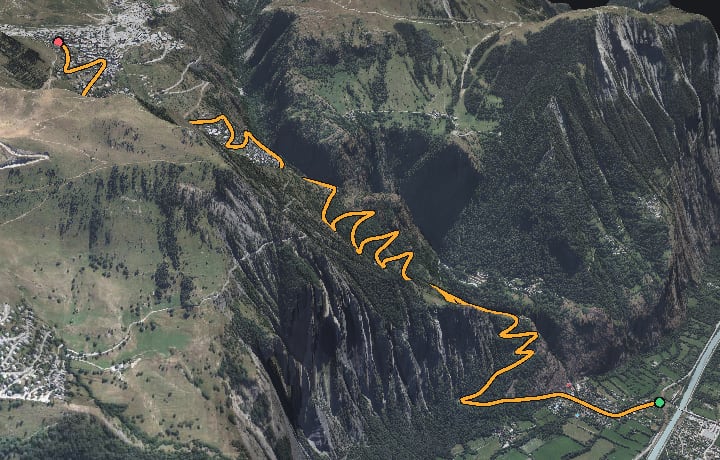
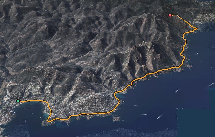
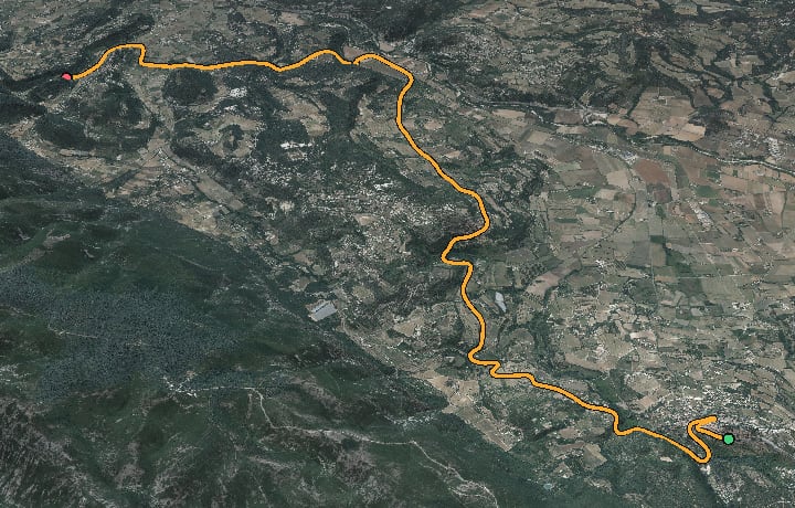
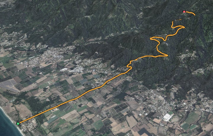
Beecycle rebuilds real French roads in 3D — terrain, orthophotos, every building, vineyard and hedge — from national survey data. Connect your smart trainer and the climb in front of you is the climb in your legs.
Real sensors need Chrome or Edge (Web Bluetooth) — or the Mac app. No trainer handy? The demo has a built-in simulator.
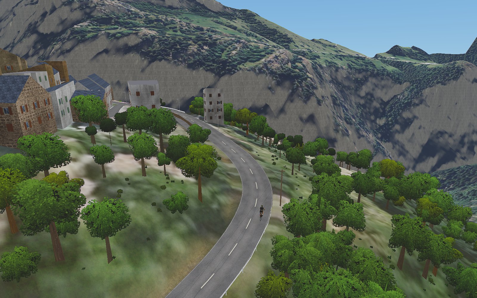
Not an artist's fantasy island. Every route is generated from IGN national survey data — elevation, aerial imagery, land registry. The chapel at km 7 exists. So does the hedge after it.
Any FTMS smart trainer, connected in seconds. The slope of the road becomes resistance in your legs — and in ERG mode, workouts hold the exact power they ask of you.
No subscription. No account. No server between you and your ride. The Mac app downloads your routes and works entirely offline — it is yours, the way software used to be.
Rendered from the packs themselves — this is in-app terrain, not marketing.
Open the demo, pair your trainer, ride. That's the whole onboarding.